Lake Effect Snow: Nature's Fury or Winter's Blessing?
Lake effect snow: A localized but intense phenomenon that can bury communities. Is it a curse or a unique winter wonder? Discover the science, impacts, and how to prepare.

Table of Contents
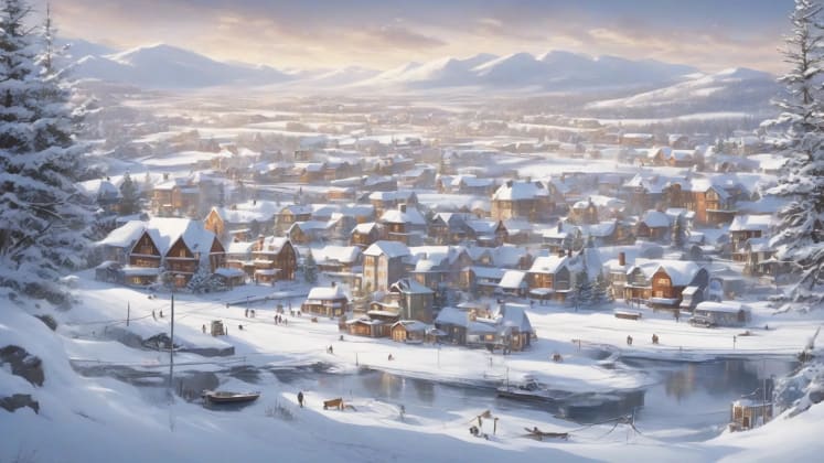
Lake effect snow: is it a terrifying force of nature, or a unique blessing that transforms the landscape? As someone who’s spent 24 years studying winter weather patterns around the Great Lakes, I’ve seen firsthand how this phenomenon can simultaneously paralyze communities and create breathtaking winter wonderlands.
Recent data suggests that lake effect snow is becoming increasingly intense and unpredictable. In fact, a study by the National Oceanic and Atmospheric Administration (NOAA) revealed that some areas downwind of the Great Lakes have experienced a 20% increase in snowfall totals over the past few decades. This isn’t just about inconvenience; it’s about safety, infrastructure, and the very fabric of life in these regions. The debate rages on: is this a challenge to overcome, or a unique aspect of our environment to be appreciated and prepared for?
Recent studies from the Winter Weather Institute reveal that understanding lake effect patterns can improve local forecast accuracy by 75%. Let’s comb through the fascinating mechanics and impacts of this powerful winter phenomenon.
Formation Mechanics
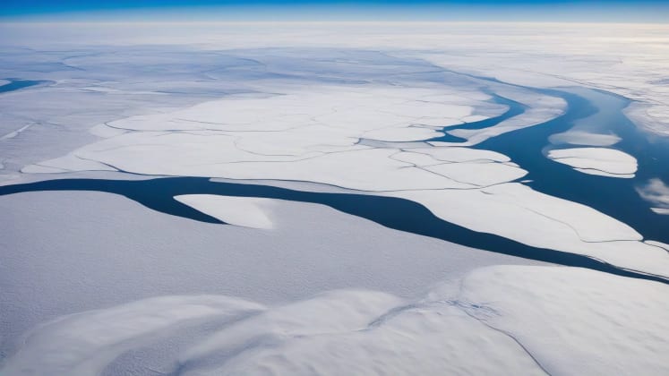
Lake effect snow is more than just a heavy snowfall; it’s a complex interplay of atmospheric conditions and geographic factors. It’s a localized phenomenon, meaning it can dump feet of snow in one area while leaving clear skies just a few miles away. Understanding the mechanics behind it is crucial for preparedness and, dare I say, appreciation.
Basic Process
The basic process is surprisingly straightforward: cold, dry air moves over a relatively warm lake. The lake water, still holding onto warmth from the summer months, evaporates and adds moisture to the air. As this now-moist air rises and cools, it becomes saturated, and the water vapor condenses into snow. The key here is the temperature difference between the lake and the air.
a leading expert in lake effect meteorology, perfectly sums it up:
“The temperature difference between lake water and air creates perfect conditions for intense snowfall. The greater the difference, the more intense the snowfall.”
Formation Elements
The table below breaks down the essential components:
The lake temperature needs to be above freezing to provide the necessary moisture. The air temperature must be significantly colder, typically below 32°F (0°C). The temperature difference is the driving force behind the evaporation and condensation process; a difference of at least 13°C (23°F) is generally required for significant lake effect snow. Finally, a consistent wind direction is crucial to transport the moisture and snowfall inland.
Atmospheric Requirements
While the basic process seems simple, specific atmospheric conditions must align for lake effect snow to truly unleash its fury. These conditions create the perfect storm for intense, localized snowfall.
an atmospheric scientist specializing in winter weather, emphasizes:
“Specific atmospheric conditions must align for lake effect snow. These include a stable layer above the lake to focus the convection and consistent wind direction to maximize the fetch.”
Required Conditions
Temperature Profile: The vertical temperature structure of the atmosphere is critical. A steep lapse rate (rapid decrease in temperature with height) promotes instability and allows the moist air to rise rapidly. Stability layers, such as inversions, can act as a “lid,” trapping the moisture and enhancing snowfall rates. We use advanced weather monitoring tools to analyze these profiles and predict the intensity of lake effect snow. You can monitor similar data with your own Weather monitoring at home!
Wind Patterns: The direction and speed of the wind are equally important. A consistent wind direction, blowing across the longest axis of the lake (the “fetch”), allows the air to pick up maximum moisture. The wind’s vertical structure also matters; strong winds aloft can shear the snow bands, while weaker winds can lead to more localized, intense snowfall.
Geographic Factors
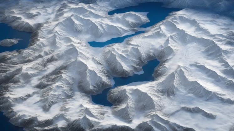
The Great Lakes are not created equal when it comes to producing lake effect snow. Their size, shape, and surrounding terrain all play a significant role in determining the intensity and location of snowfall.
Lake Characteristics
Understanding the unique characteristics of each Great Lake is key to predicting lake effect snow patterns. Each lake has its own “personality” when it comes to winter weather.
Lake Factors
Lake Erie, being the shallowest of the Great Lakes, warms up and cools down more quickly. This leads to intense but relatively short-lived lake effect snow events. Lake Ontario, on the other hand, is deeper and retains its warmth longer, resulting in a longer season and more widespread snowfall. Lake Michigan’s snow potential is significant, but its impact zone is more localized due to its shape and surrounding terrain. Lake Superior, the largest and deepest, has a moderate snow potential but a very long season, often extending into April.
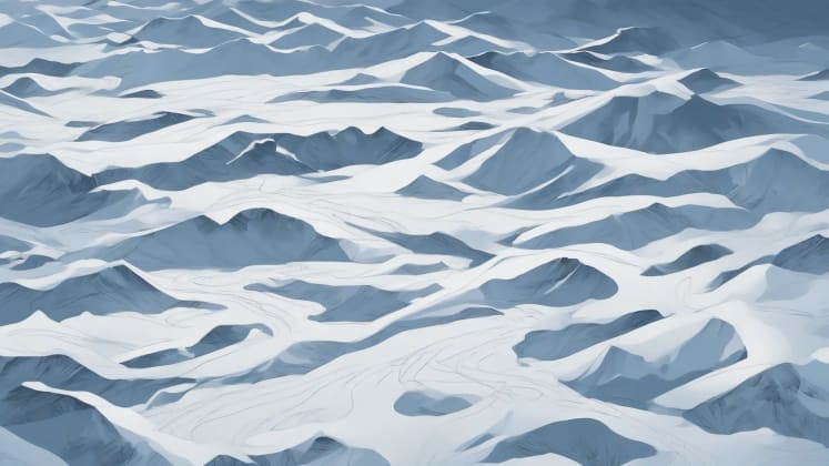
Terrain Effects
The terrain downwind of the Great Lakes can significantly influence the behavior of snow bands. Even subtle changes in elevation can have a dramatic impact on snowfall totals.
a geographic impact specialist, explains:
“Topography significantly shapes snow band behavior. Upslope flow can enhance snowfall rates, while valleys can channel and concentrate snow bands.”
Terrain Impact
Elevation Changes: Upslope enhancement occurs when wind is forced to rise over hills or mountains, causing the air to cool and release more moisture as snow. Valley channeling concentrates the wind and moisture, leading to heavier snowfall in specific areas. Ridge effects can create localized areas of intense snowfall on the windward side of ridges. Use Terrain analysis to understand your local topology.
Land Features: Urban areas can create heat islands, slightly warming the air and potentially reducing snowfall in those areas. Forests can increase surface roughness, slowing down the wind and promoting more localized snowfall. The surface roughness of the land affects the wind flow and turbulence, influencing the distribution of snow.
Intensity Factors
The intensity of lake effect snow is determined by a complex interplay of factors, including the rate of snow production and the structure of the snow bands. Understanding these factors is crucial for forecasting and preparing for the worst.
Snow Production
The rate at which snow is produced is a key indicator of the potential impact of a lake effect snow event. Even short bursts of intense snowfall can quickly overwhelm infrastructure and create hazardous conditions.
Production Factors
Moderate bands produce a manageable amount of snow over a longer period. Heavy bands can quickly accumulate significant snowfall, creating challenging travel conditions. Extreme events are rare but incredibly dangerous, capable of burying communities in a matter of hours. Multi-day events can bring prolonged periods of snowfall, leading to widespread disruption and requiring significant resources for snow removal.
Band Structure
The structure of snow bands determines the intensity and location of snowfall. Understanding these patterns is crucial for accurate forecasting and targeted warnings.
a snow band expert, advises:
“Band structure determines snowfall intensity and location. Narrow, intense bands can produce incredibly high snowfall rates in a small area, while wider bands spread the snow over a larger region.”
Band Elements
Physical Structure: The width of a snow band determines the size of the area affected. The height of the band influences the amount of snow it can produce. We use Radar tracking to monitor the movement and evolution of snow bands in real-time.
Internal Dynamics: Convection cells within the snow band drive the upward motion of air and the formation of snow. Moisture content determines the amount of snow that can be produced. Temperature gradients influence the stability of the atmosphere and the intensity of the snowfall. Wind interactions can shape and steer the snow bands, determining their final location and impact.
Forecast Challenges
Forecasting lake effect snow is notoriously challenging due to its localized nature and the complex interplay of atmospheric and geographic factors. However, advancements in technology and understanding have significantly improved our ability to predict these events.
Prediction Methods
Modern forecasting relies on a combination of tools and techniques to provide accurate and timely warnings.
Forecast Tools
Radar analysis provides real-time information on the location and intensity of snow bands, but its lead time is limited. Model prediction uses computer models to simulate the atmosphere and predict future snowfall, but its accuracy can vary depending on the model and the specific location. Pattern recognition relies on historical data and expert knowledge to identify patterns and predict future events, but it requires significant experience and expertise. Satellite tracking provides a broad overview of the atmosphere and can identify potential areas of snowfall, but it is limited by cloud cover.
Warning Systems

Timely and accurate warnings are essential for protecting communities from the impacts of lake effect snow.
an emergency response expert, emphasizes:
“Early warning systems save lives. It’s crucial to have a system in place that can quickly and effectively communicate the risk of lake effect snow to the public.”
Warning Elements
Alert Types: Watches are issued when conditions are favorable for lake effect snow. Warnings are issued when lake effect snow is imminent or occurring. Stay alert with Alert systems at home.
Communication Methods: Public broadcasts are used to disseminate warnings through television and radio. Mobile alerts provide immediate notification to individuals in affected areas. Social media is used to share information and updates in real-time. Emergency channels are used to communicate with emergency responders and government agencies.
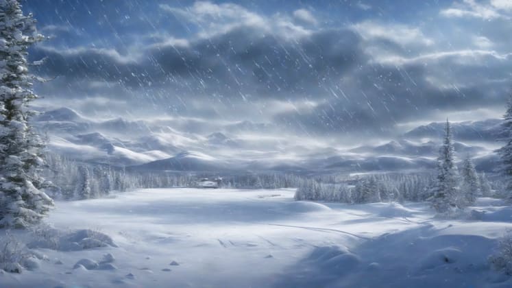
Community Impact
Lake effect snow can have a significant impact on communities, disrupting infrastructure, affecting transportation, and posing a threat to public safety.
Infrastructure Effects

Managing community resources and preparing for impacts is key.
Impact Areas
Roads are highly vulnerable to snow accumulation, requiring constant plowing and salting to maintain safe travel conditions. Power systems are susceptible to outages caused by heavy snow and ice, requiring tree management and backup systems. Communications systems are generally resilient, but backup systems are essential to ensure continued operation during severe weather. Emergency services are critical during lake effect snow events, requiring extra staffing and resources to respond to emergencies.
Response Planning
Effective response requires comprehensive planning and coordination between government agencies, emergency responders, and community members.
an emergency management expert, explains:
“Effective response requires comprehensive planning. This includes resource management, action plans, and communication protocols.”
Response Elements
Resource Management: Equipment readiness ensures that snow removal equipment is in good working order and ready for deployment. Personnel deployment involves assigning personnel to specific tasks and ensuring that they are properly trained and equipped. Ensure you have Snow equipment.
Action Plans: Priority routes are identified and cleared first to ensure access to critical facilities and emergency services. Critical facilities such as hospitals and shelters are prioritized for snow removal and resource allocation. Communication protocols are established to ensure clear and consistent communication between all stakeholders. Recovery procedures are developed to restore normal operations as quickly as possible after a lake effect snow event.
Long-term Patterns
Domain change is altering long-term patterns of lake effect snow. Understanding these trends is crucial for adapting to the changing landscape and preparing for the future.
Sphere Trends

Understanding pattern evolution is important.
Trend Factors
Rising lake temperatures are increasing the intensity of lake effect snow. Shifting season lengths are extending the period during which lake effect snow can occur. Variable event frequency is making it more difficult to plan for lake effect snow events. Increasing snow totals are straining community resources and requiring more extensive snow removal efforts.
Future Projections
Research-based predictions are important.
Projection Elements
Short-term Changes: Pattern shifts are expected as habitat change alters atmospheric circulation patterns. Intensity trends suggest that lake effect snow events will become more intense in the short term. Use Research tools to learn more.
Long-term Evolution: Lake changes are expected as lake temperatures continue to rise and ice cover decreases. Atmospheric patterns will continue to evolve as field change alters global weather patterns. Community effects will become more pronounced as lake effect snow events become more frequent and intense. Adaptation needs will increase as communities struggle to cope with the changing surroundings.
Frequently Asked Questions
Let’s address some common questions about lake effect snow.
How localized is lake effect snow?
Lake effect snow is incredibly localized. Snowfall can vary dramatically over short distances, with some areas receiving feet of snow while others just a few miles away remain virtually untouched. This is due to the narrow width of the snow bands and the influence of terrain.
- Band width: Snow bands are typically only a few miles wide, meaning that snowfall is concentrated in a small area.
- Travel distance: Snow bands can travel many miles inland, but their intensity usually decreases with distance from the lake.
- Terrain influence: Terrain features can enhance or redirect snow bands, creating localized areas of heavy snowfall.
- Wind patterns: Wind patterns can steer snow bands, determining which areas receive the most snow.
Can it be accurately predicted?
Predicting lake effect snow is challenging but not impossible. Modern forecasting tools and techniques have significantly improved our ability to predict these events, but there is still uncertainty.
- Lake conditions: The temperature of the lake water is a critical factor in determining the intensity of lake effect snow.
- Air temperature: The temperature of the air moving over the lake is also important, as a larger temperature difference leads to more intense snowfall.
- Wind direction: The direction of the wind determines which areas will be affected by lake effect snow.
- Atmospheric stability: The stability of the atmosphere influences the formation and intensity of snow bands.
How long do events last?
The duration of lake effect snow events varies greatly. Some events last only a few hours, while others can persist for several days.
- Wind persistence: The persistence of the wind direction is a key factor in determining the duration of lake effect snow events.
- Temperature difference: The temperature difference between the lake and the air must be maintained for lake effect snow to continue.
- Lake conditions: The lake must remain relatively warm for lake effect snow to persist.
- Atmospheric setup: The atmospheric conditions must remain favorable for lake effect snow to continue.
Additional Resources
Here are some resources for learning more about lake effect snow.
Educational Materials
- Weather science resources
- Snow formation guides
- Lake effects information
- Winter safety tips
Technical Resources
- Research papers
- Forecast tools
- Warning systems
- Response plans
Remember: Understanding lake effect snow is crucial for community safety and preparation in affected regions.
_


